Skip to Content
Explore the Constellation
Mapping Inequality
Land
1935
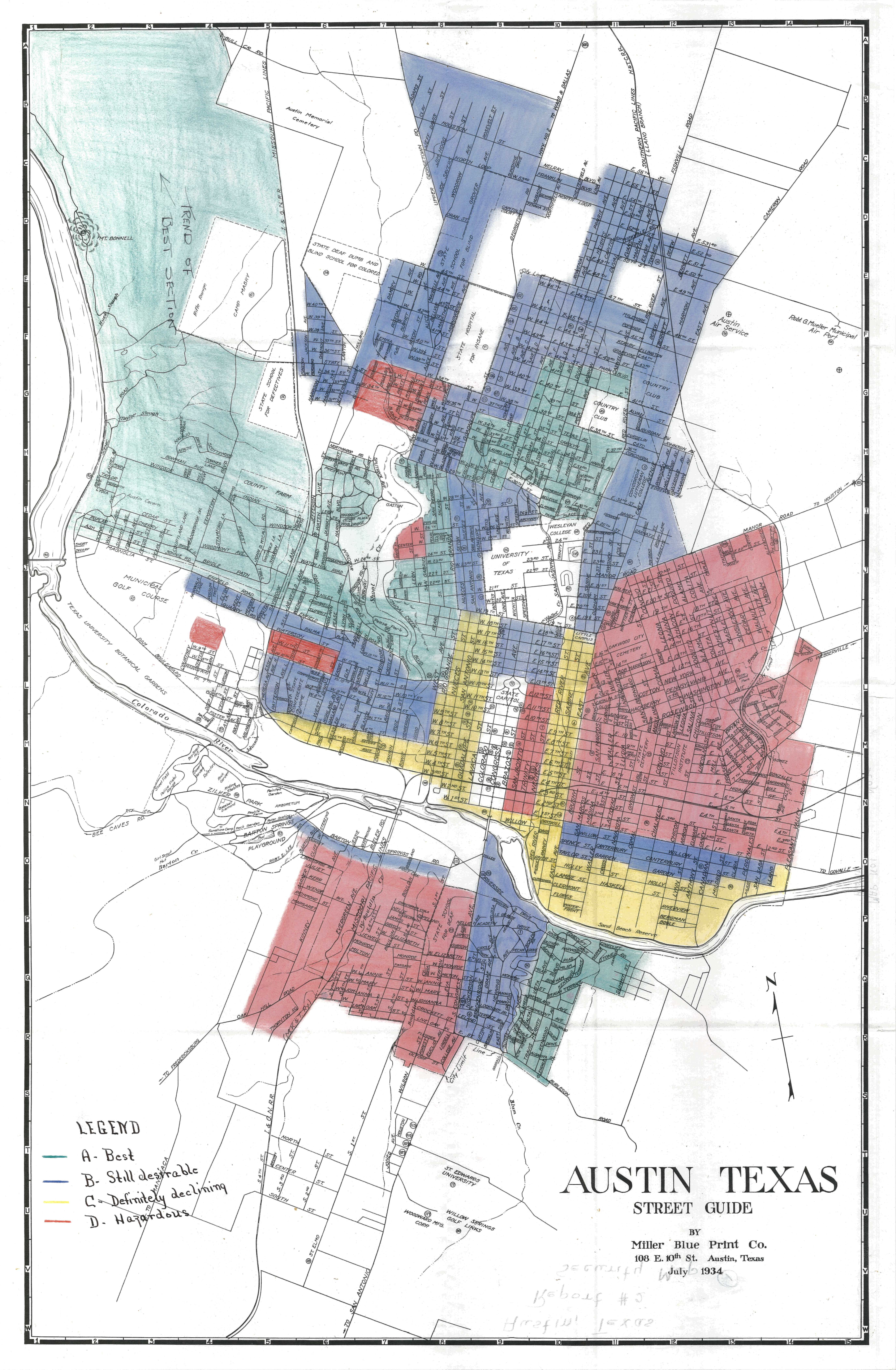
Black neighborhoods were outlined in red and described as “hazardous.”
“Redlining” is the practice of denying housing insurance based on factors such as race or class. Beginning in the 1930s, the Home Owners’ Loan Corporation (HOLC) assigned “security” grades associating land values with racial groups. This helped keep African Americans in segregated neighborhoods with lower property values.
Mapping Inequality is an educational resource developed by the Digital Scholarship Lab at the University of Richmond . It helps people identify historically redlined neighborhoods throughout the United States.
